March 8th, 2026
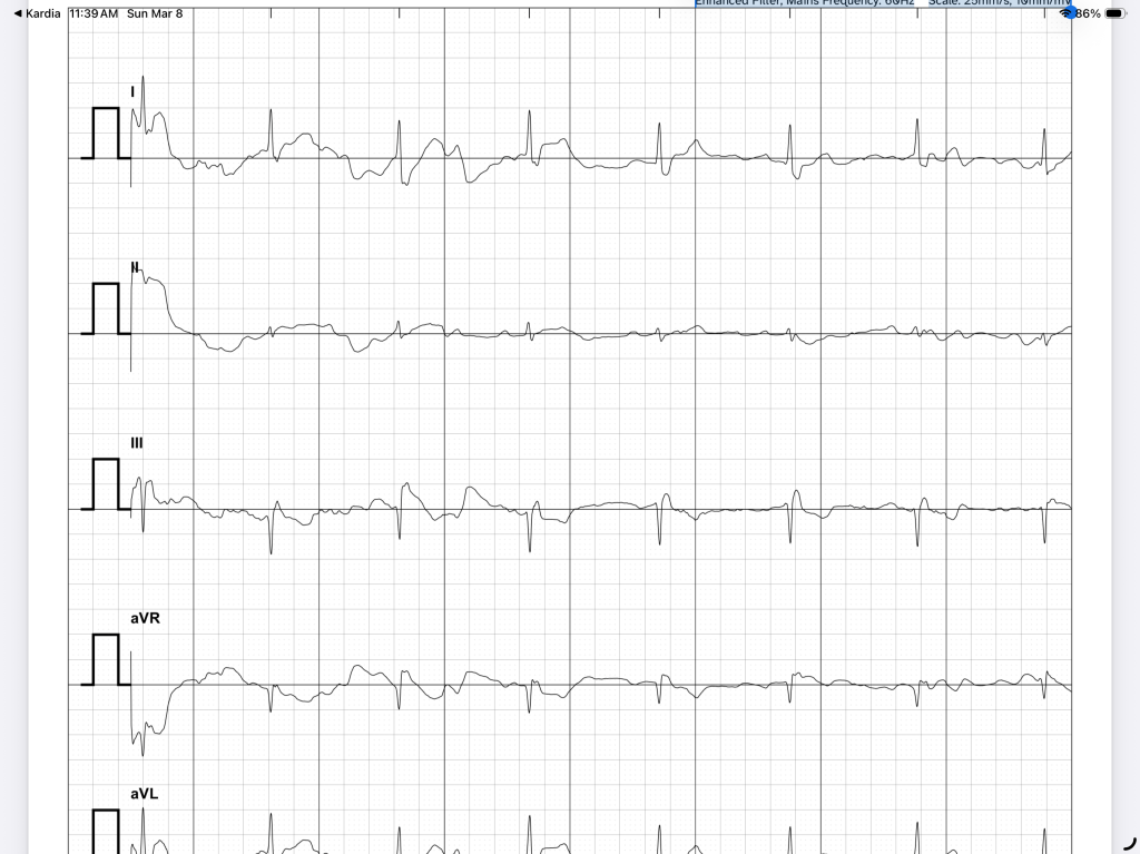
The good news is I have been able to fog a mirror every morning since my inglorious return from Baja. My new Spanish phrase of the week when asked how I’m doing is “Estoy muy preocupado por mi corazon”. I did meet with my cardiologist this week, and it went relatively well. Sort of. There are no indications of what is causing my high blood pressure, BPM (beats per minute) and heart palpitations. But something is obviously not working the way it should. So I’ll be getting some tests and have to wear a monitor for a bit. We discussed my upcoming trips – he did not really want me to go next week, but understood my need and desire – I got nothing else going on in my life but travel – I’ll go absolutely bonkers if I have to sit at home. So, I promised to do the following (really, I actually had to say ‘I promise’):
1 – No alcohol (that’s a hard one…they have great bars on the ships). I’ve been cutting back on wine for a while, so I’ll survive.
2 – Stay hydrated – that was likely one of the triggers, the other being alcohol. They have hydration stations all over the ship, and I’ll be getting yet another nice water bottle. I’ll use it.
3 – Take a second blood pressure pill only if I have another incident. I’ll be bringing extras on this trip just in case.
4 – Take it easy, especially on the activities. I’ll stick to easy trail hikes and zodiac rides, and avoid kayaking and snorkeling. Bummer. But I can focus on photography…not so bad.
I’ll also bring my little Kardia device along for EKG’s, and maybe a blood pressure cuff. There’s a doctor on board, but I’d rather not advertise my little problem. They might send me home – once was enough.
So the good news is that I will be going on the Panama/Costa Rica trip in 10 days, and have already started accumulating my stuff for the inaugural packing test. This trip will be easy to pack for, since it’s a tropical climate – no snow, temperatures in the 90’s, no heavy clothes at all. Plus, they have laundry service on the ship – I’ve started relying on that to reduce the amount of stuff I have to bring along.
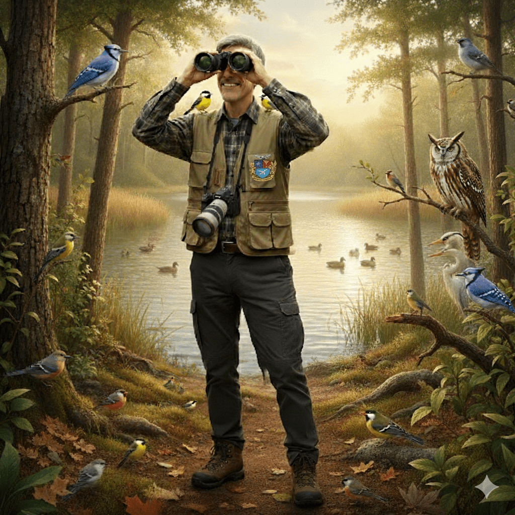
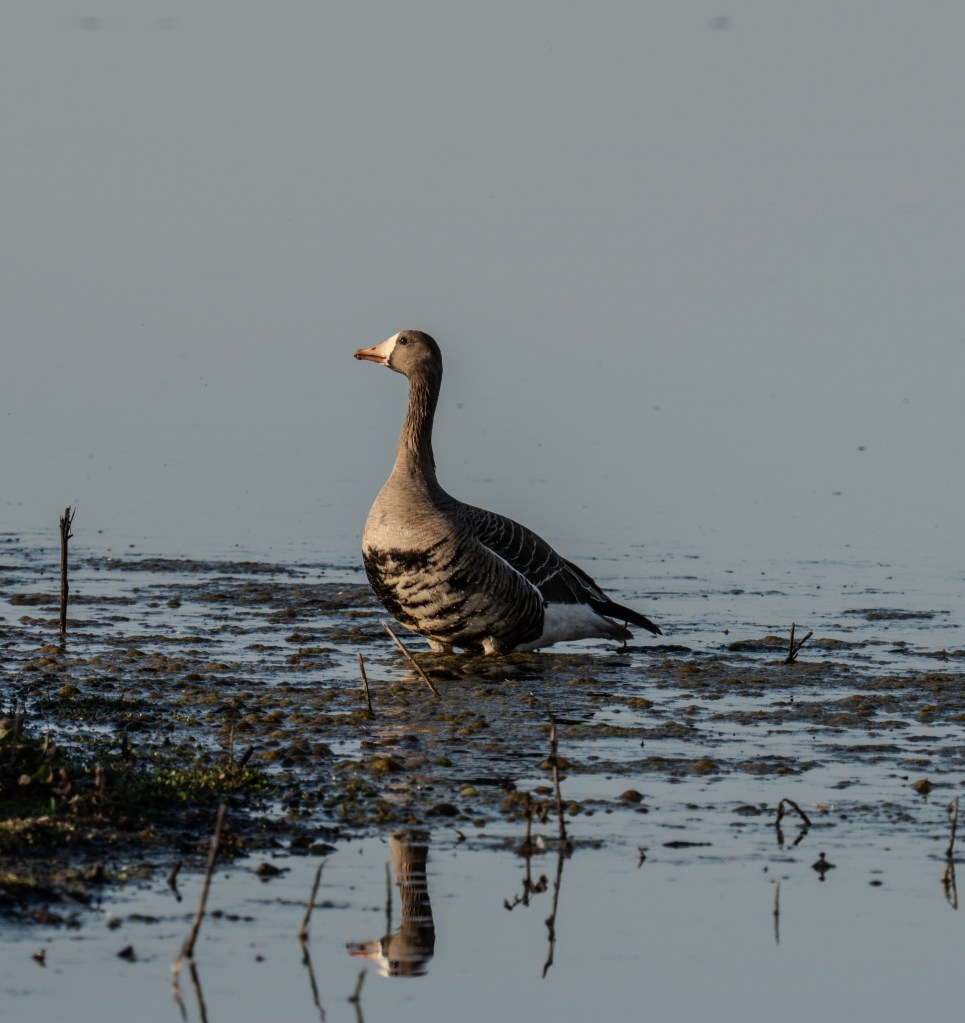
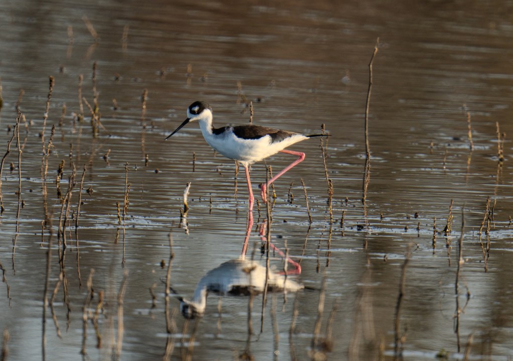
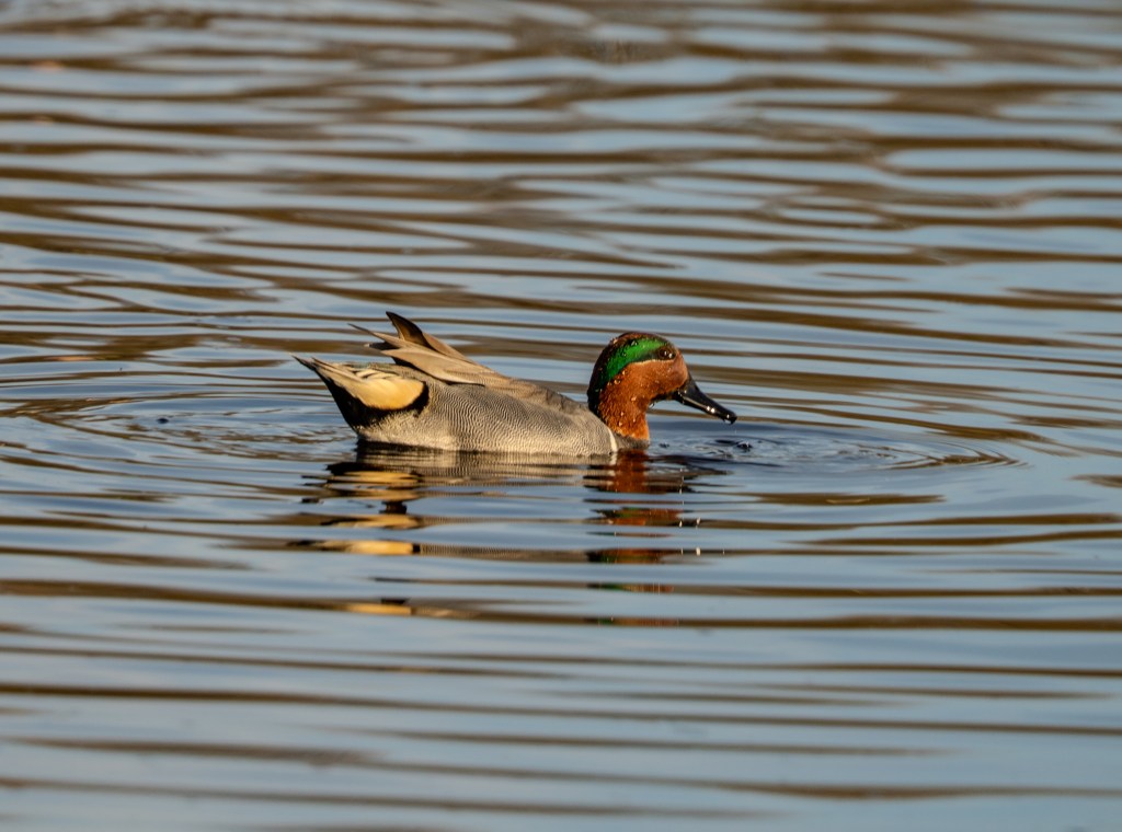
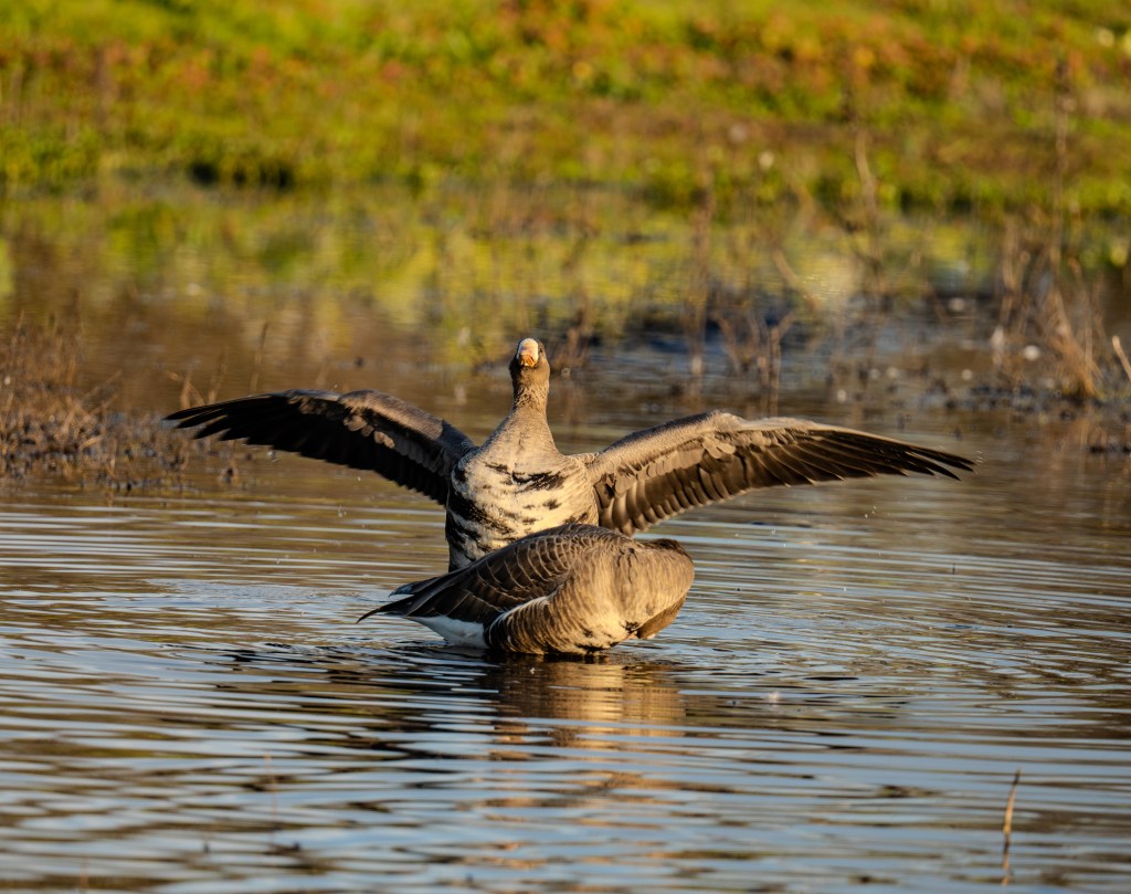
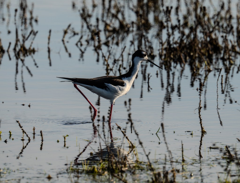
Photography on this trip should be interesting – a mix of city shots the first two days in Panama City, landscapes all along the way, and birds and mammals (monkeys..but sadly, no Penguins!) in the nature preserves. And I’ve heard that the trip through the canal has some unique photo-ops, especially at night. I’ll be packing my usual kit for this trip – two Sony bodies, the big lens for wildlife, and the new 25-200 for everything else. Plus the magic monopod. Can’t wait.
Hopefully, I won’t be introducing myself to the ship’s physician on this trip. OK…positive thinking, positive thinking. I’ve only got 18 days when I return from this trip, before I leave for the astrophotography trip in Moab. So I hope this one goes well.
Peace