Feb 25, 2026
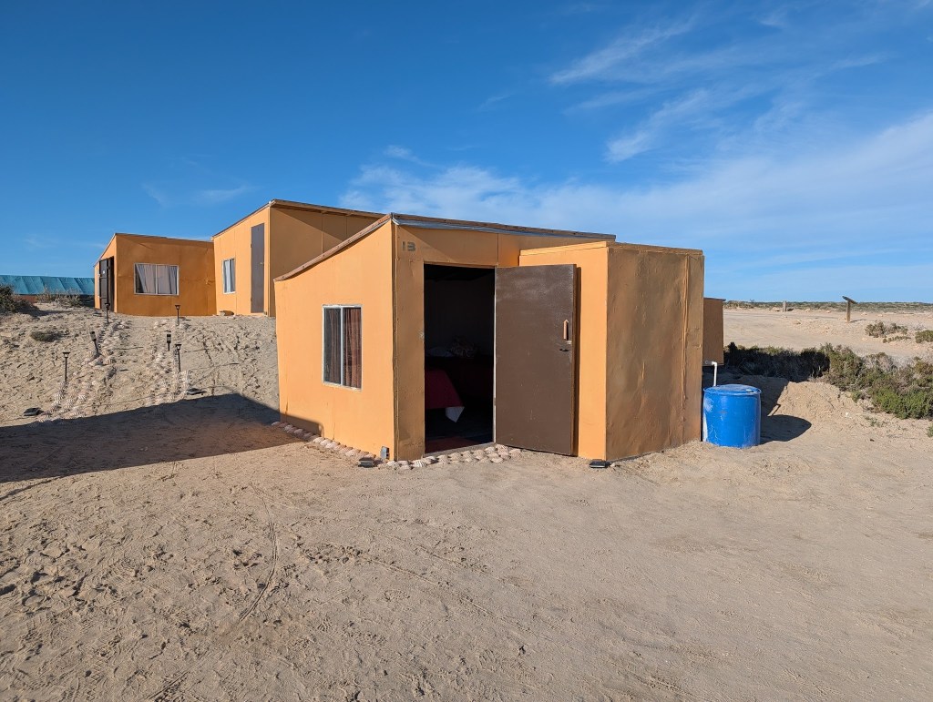
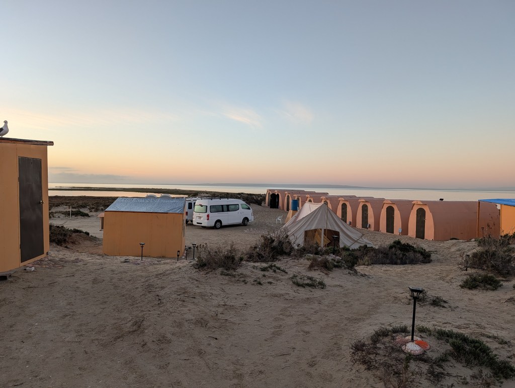
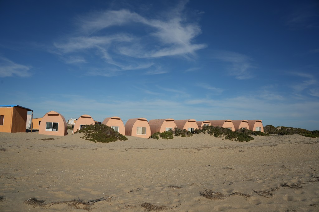
I think I hit the sack around 9PM on Tuesday night, knowing that I needed to be up before 5 AM. Even with 7 hours of sleep, it was really difficult getting out of bed that early. Plus, it’s cold on the beach, and the little heater in the cabin does not come on until the generators fire up. The camp staff is up and around, so I got dressed and headed up to the dining structure, where the lights were on….and it was warmer. The kitchen staff was already busy, and I was able to get some orange juice to try and jolt myself awake. Tequila might have helped too. They were making food for breakfast and lunch to take along on the trip, for myself and the driver. Really nice of them.
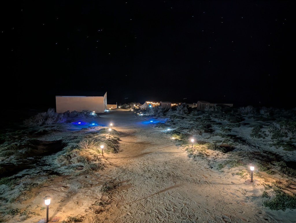
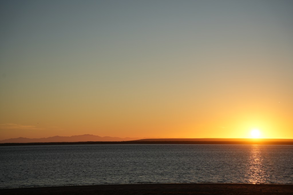
It was still pitch black that early, and I had a nice view of a very starry sky. No light pollution out there.


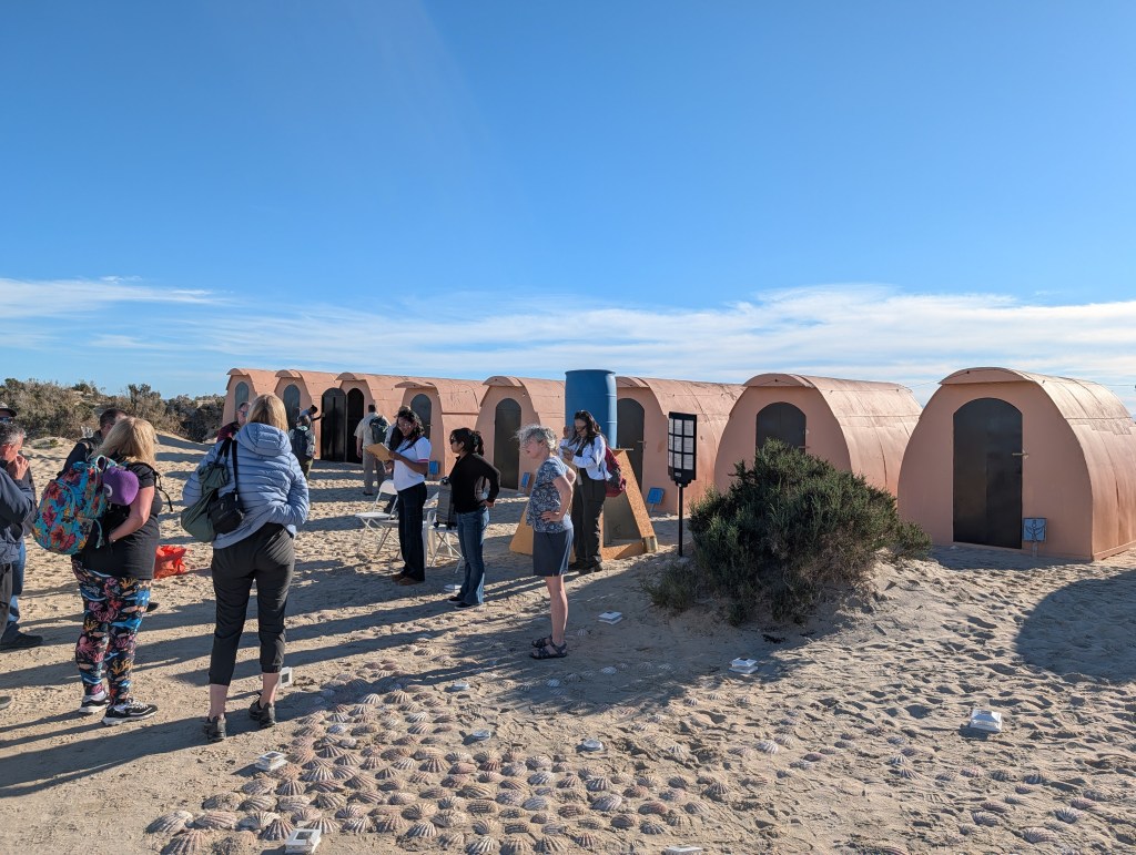
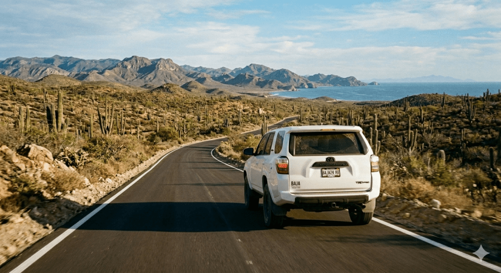
I was concerned that the driver would get lost finding the camp, but he is a local and knows the way. He ran a bit late, but showed up before 6:00 AM. Most of the staff was around, waiting for him. That was a good thing since Alberto spoke absolutely no English, so I had a translator for the introductions. I had been concerned about what type of car I’d be spending most of the day in and I was in luck – a brand new, fairly large SUV. So, we loaded my duffel bag and the food in back, I grabbed my water bottle, hugged a few people (I really enjoyed this group…and might even stay in touch with a few) and off we went. In the dark to parts unknown (to me).
I had been looking forward to the ride back up through Baja, before all this happened. I had volunteered to take the ride, which would have been in a van with a few other guests who wanted to avoid the small plane. For me, I was really interested in seeing the non-tourist back country of Baja, and maybe get the driver to stop once in a while if there was something I wanted to photograph. This trip unfortunately, was all about getting to the border as quickly as possible, with the lingering fear that I may have another one of those episodes.This was not going to be fun, but I intended to relax as much as possible. Stress was not my friend. I also planned to avoid dehydrating myself, and continue to monitor my heartbeat and ECG with my watch. That was my plan.
The route back to the border was pretty simple – get on Hwy 1, and drive North, 463 miles to the US border. From there it is only 23 miles to the hotel, the final destination for this trip.
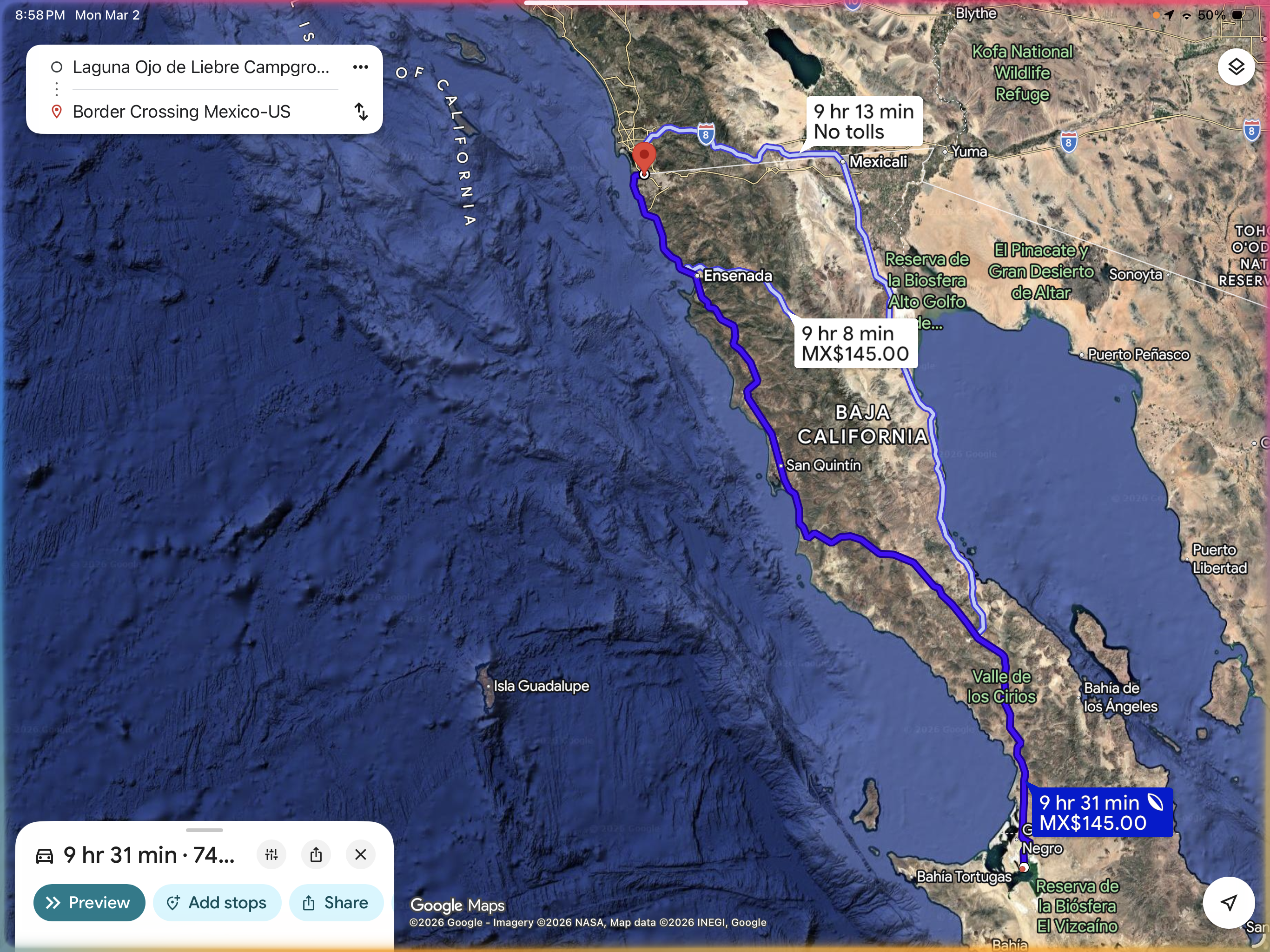
Google estimated it at nine and a half hours…that would be at night, when I generated this image. During the day, you have endless traffic in the small towns around Ensenada, then even more traffic getting through Ensenada, and even more traffic in Tijuana. And that just gets you to the border. So, I knew this was going to be a long haul.
My driver (hmmm…that does not sound right)…the driver, Alberto, seemed a pleasant enough, friendly person, but he was not particularly comfortable with trying to communicate since he did not speak English, nor did he really want to listen to my butchered Spanish. I was hoping to use Google Translate, but as soon as we exited Guerro Negro, we lost all cell access for the next 375 miles. Fortunately, I knew one very important phrase: Necesito un bano. I somehow managed to blank out everything I had learned using Duo the past year, plus I’m not comfortable sounding like an idiot to a Spanish speaker. So we pretty much drove along in silence. I just closed my eyes and dozed for a while when not watching out the window.
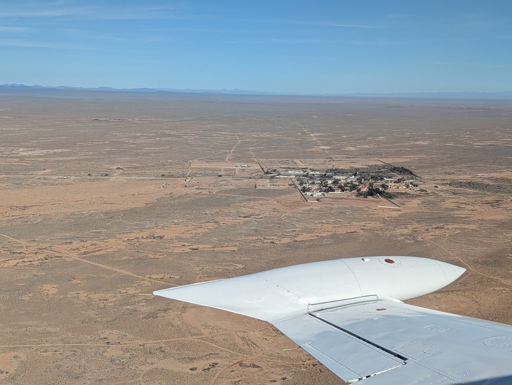
The drive through the truly remote sections of Baja was fantastic – it was a lot like driving through the Western US – beautiful desert with some incredible forests of large cactus, rugged mountain ranges, steep, winding roads with big drop-offs, a smattering of very small pueblos and occasional run-down gas stations/restaurants along the road. We stopped a few times for bano-breaks and to gas up the car. I did not have breakfast, and at one of the gas stations, we snarfed down the sandwiches. I continued to hydrate throughout the trip – I learned my lesson on the way down about getting dehydrated.
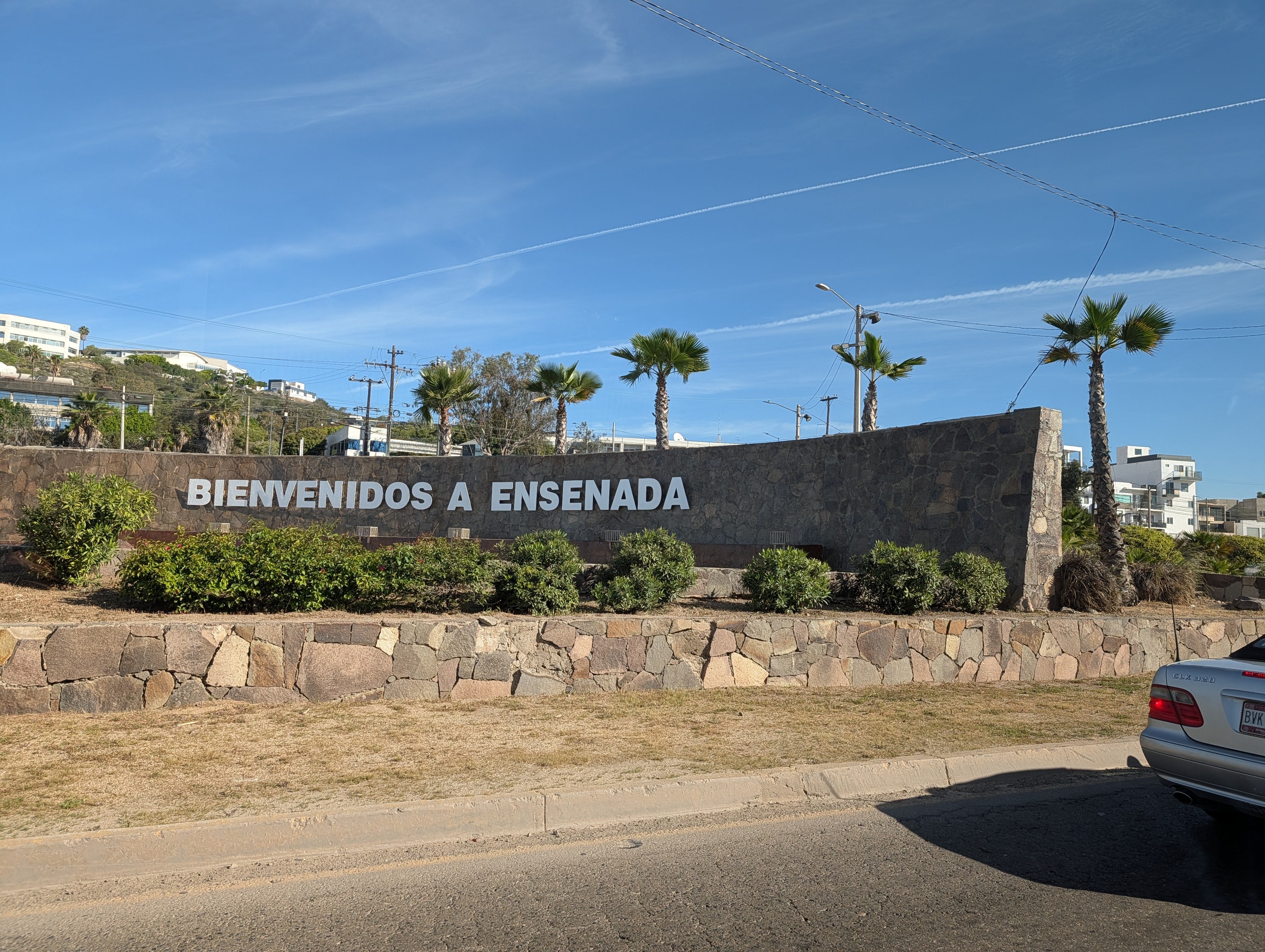
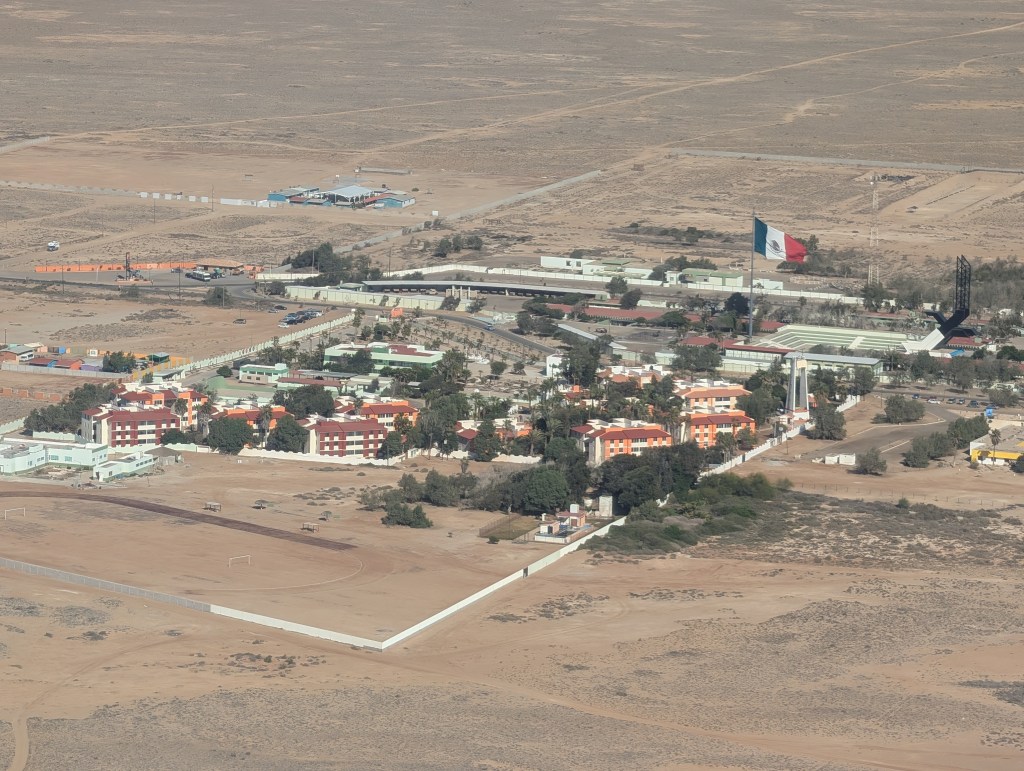
It was not really clear to me on where the car transfer was going to happen – I thought it was going to be in Ensenada, and I did ask Alberto once we had cell coverage again. He obviously did not understand Google (or Google got it wrong), because we passed through Ensenada without stopping (except for another bano break). Traffic as we approached Ensenada was awful, stop and go as we went through these endless shopping areas along the highway. This was also about the time schools were letting out, so we had a lot of mandatory stops. Once we did have cell coverage, I was able to contact Keith again, and confirmed that the switch would occur close to the border. So we still had a long way to go. Ugh.
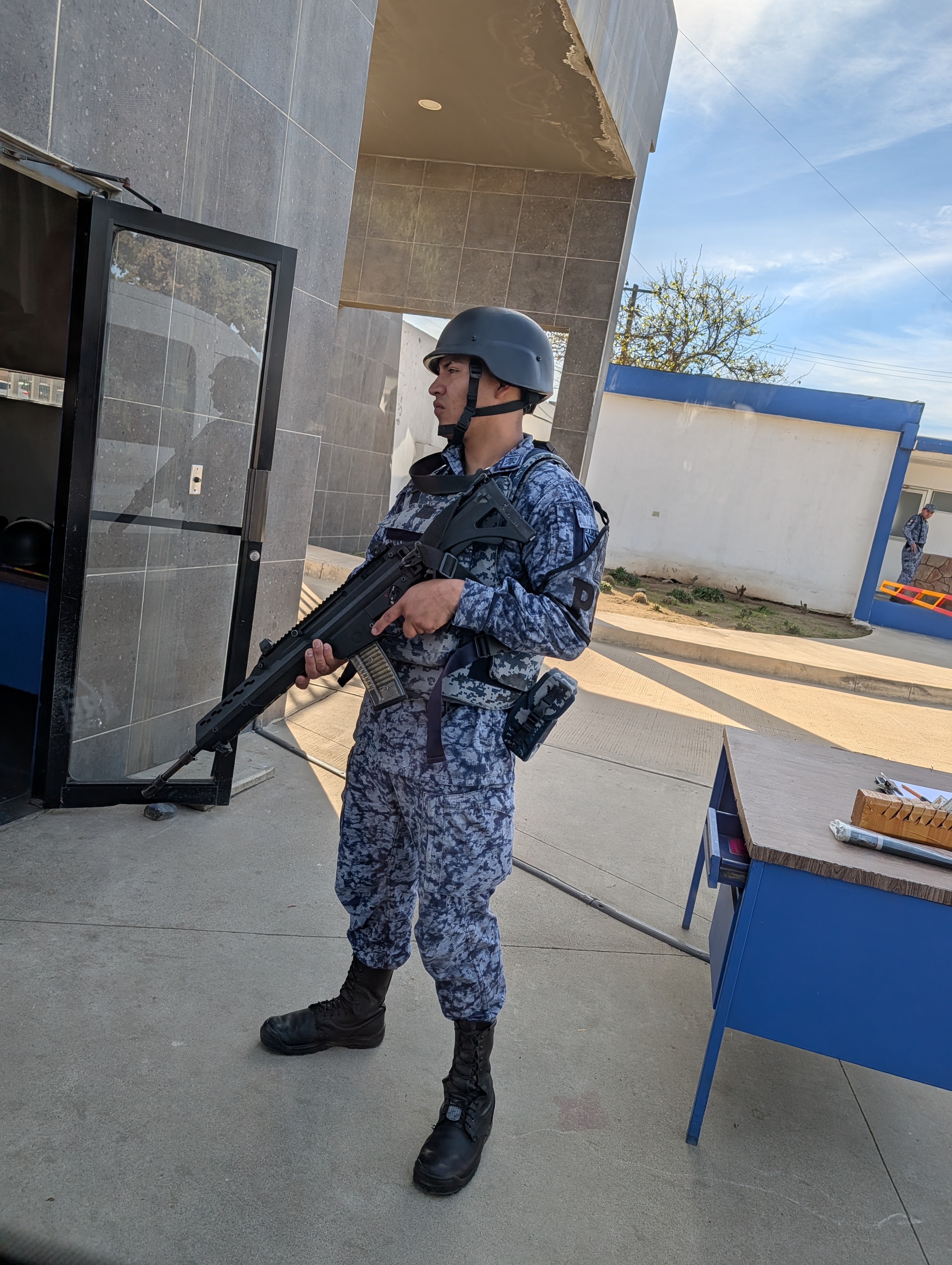
One point of interest on the back country part of the trip – there were quite a few inspection points with armed soldiers manning the posts. The two Mexican states in Baja do this to inhibit drug and arms traffic, which keeps the cartels out. Baja is considered to be one of the safest places to travel to in Mexico. Somewhere along the way, we did see a small group of army pickup trucks, each with a machine gunner in back, heading south along the highway. That was a bit strange.
After we got out of Ensenada, the traffic melted away so we made good time heading up to Tijuana. Until a car in front of us lost the entire rear bumper. Alberto swerved away, but the bumper did bounce off the front of our car. Fortunately, it did not bounce up into the windshield, and there were just a few scrapes in front. Onward to Tijuana.
I was really tired when we finally got off the highway, and drove through the city streets. I still had no clue where we were going, but I could tell Alberto was exhausted. I asked if he was returning to Guerrero Negro that evening (I did remember how to say that!!). He had friends in town and was going home manana. After another 30 minutes in traffic, we stopped by a very large hospital and lo and behold, a woman tapped on the window and asked if I was the person going to a hotel in San Diego. Woo hoo!. She was the second driver. She was a physician at the hospital, a friend of a friend who owed a favor to Keith. She spoke broken but understandable English, and drove a beautiful Audi SUV. I said my goodbye to Alberto (with a nice tip), and switched to my new chariot. With someone to talk to.
Getting across the border was a snap – Maria and I both had Global Entry cards, so we breezed on through. Thirty minutes later we pulled into the Hilton in San Diego, where this journey began. Total door-to-door was 14 hours. With the trip down from San Diego to the whale camp, I spent almost as much time traveling as I did at the camp.
The rest of my journey home was uneventful. I rehydrated with some Gatorade at the hotel, crashed early, and lounged the next morning since I was just driving to stay with my cousins who lived north of LA. I left the next day for a leisurely, seven hour drive back to where I live in the Sacramento area. Lots of rest stops. Lots of water.
As for my heart condition, I continued to monitor my heart rate and EKG (my watch does both) throughout the trip. My BPM (pulse) was still all over the place at times, but was getting back to normal. By the time I was home, my resting pulse was pretty much where it should be. I have been in touch with my cardiologist, who wants me to meet with a specialist. That will probably be in a couple of months – getting appointments with any specialist is always difficult. I have one of those Kardia devices at home, and my EKG remains normal, with the exception of a known issue (tachycardia). So what caused this? I’m not a cardiologist, but I have a sneaky suspicion that it’s a combination of grief driven stress the past few months, along with my stupid habit of dehydrating myself whenever I have long drives, or plane travel. Then consuming alcoholic beverages instead of hydrating with water. I looked back at the things I did before this trip – hiking on glaciers in Antarctica, hiking and kayaking in Alaska, hiking the Manitou Incline in Colorado….all of this and more, without my heart complaining. Since I’ve been home, I’ve been taking long walks along the nature trails without incident. Did I really need to abandon the trip? Yes – for Keith, I’m sure he was both concerned about my health, but also worried about having someone with a heart condition at the camp. For me, I was still panicked about having two incidents in 3 days. Something seemed terribly wrong, and it was not worth the risk of staying in that remote location. Plus, it would not be fair to the rest of the group if one of these incidents occurred out on the lagoon.
The cardiologist has already recommended that I reconsider some of the trips I’m scheduled to take, until we know what’s going on with my heart. No way. Travel is pretty much all I having to look forward to since my wife passed. I’ll learn how to relax more, no more stressing out about stupid things, and stay hydrated. I’ll take my chances. And maybe I’ll work harder at learning conversational Spanish!
Peace