June 14th, 2026
A short post on a fun, sort of travel related experience I had the other day.
Some friends of mine (yeah, I still have a few left) recently moved into my community, and after painting, moving in and getting the house livable, decided to install something I’ve never seen before – a world map kit, composed of wooden pieces for all the continents and all the significant islands. I’m not making this up – there was another house for sale in the neighborhood that had one installed. Who knew?
It’s sort of a puzzle you build on a wall. The kit comes with a seemingly endless number of pieces, two roles of useless double-side tape, and minimal instructions. But it does recommend having a bunch of friends come over to help and most of all, make it a fun experience. Hmmmm. First warning sign. And I was the bunch of friends. Small group, lots of pieces, two ladders. What could possibly go wrong?
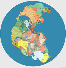
This is definitely the kind of activity that you’d like to have a case of beer, or some quaffable wine available, to consume while you construct the world. Unfortunately, that might lead to a few misplaced pieces….in my case, with enough wine, I’d probably try to create the world as it was 250 million years ago, when the continents were all together. It’s that geology thing – hard to suppress sometimes.
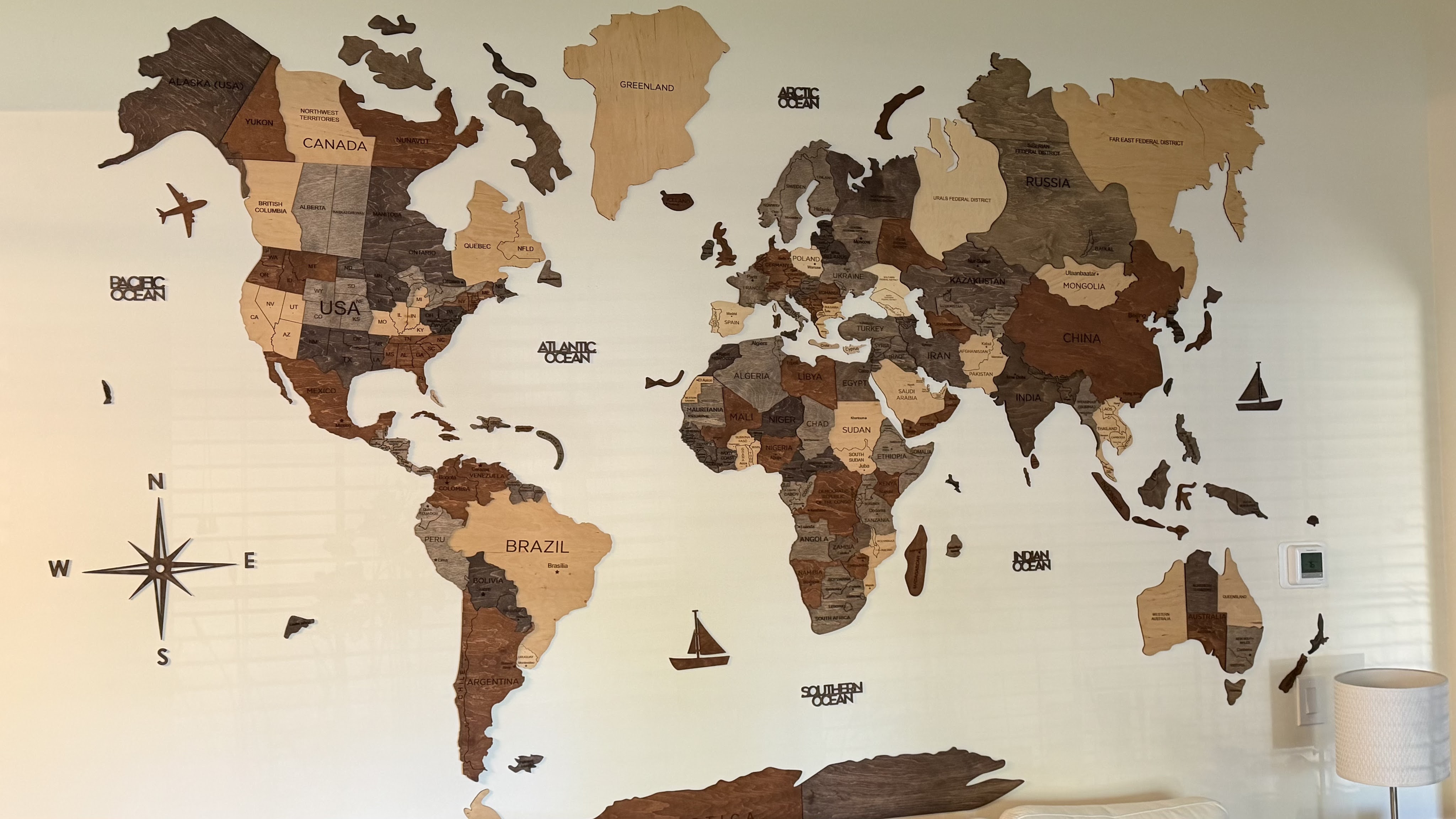
That would not look too great on the wall but fortunately, we all stayed sober. Or at least I did….I can’t vouch for my friends’ sobriety after I left, although the finished product appears to be a fairly accurate representation of the land masses (first photo).
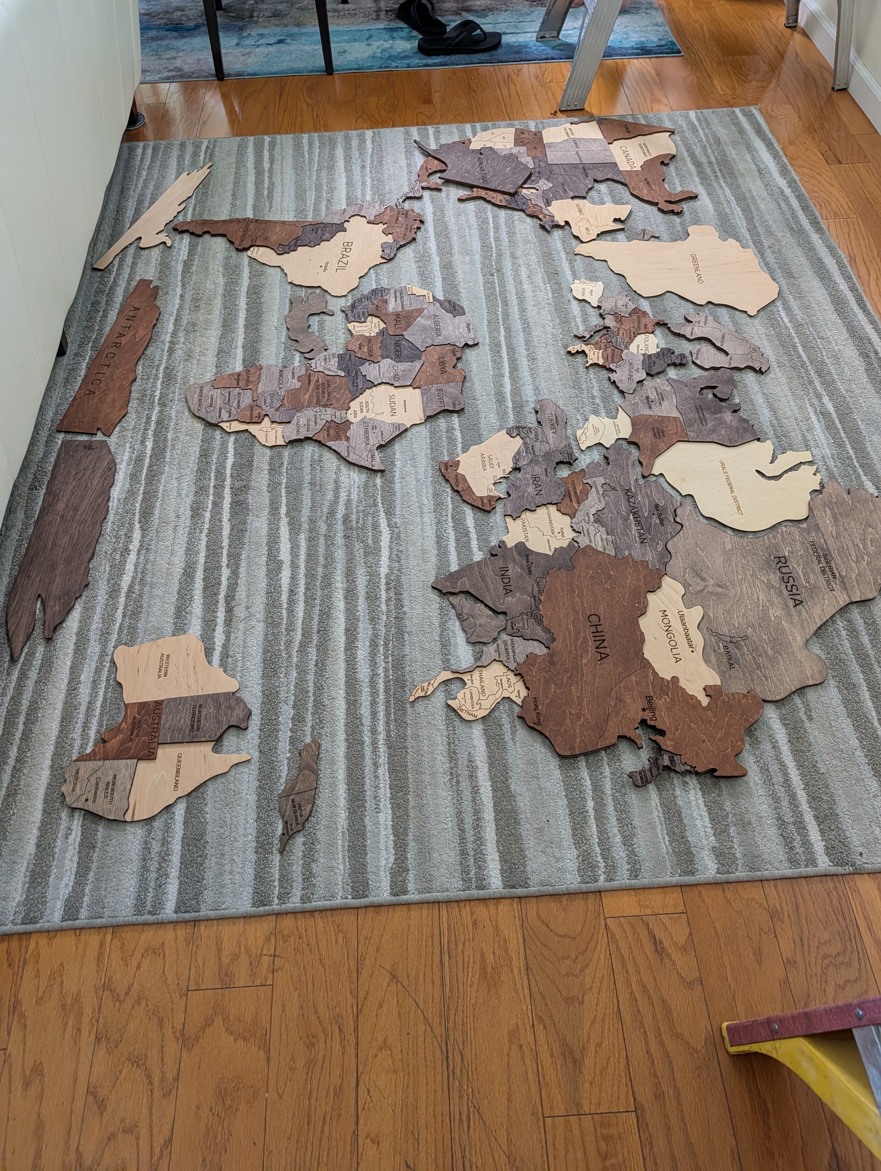
There is some method to the partially documented construction process.It helps to lay it all out on the floor first. But then you have to be careful not to step and break one of the pieces.
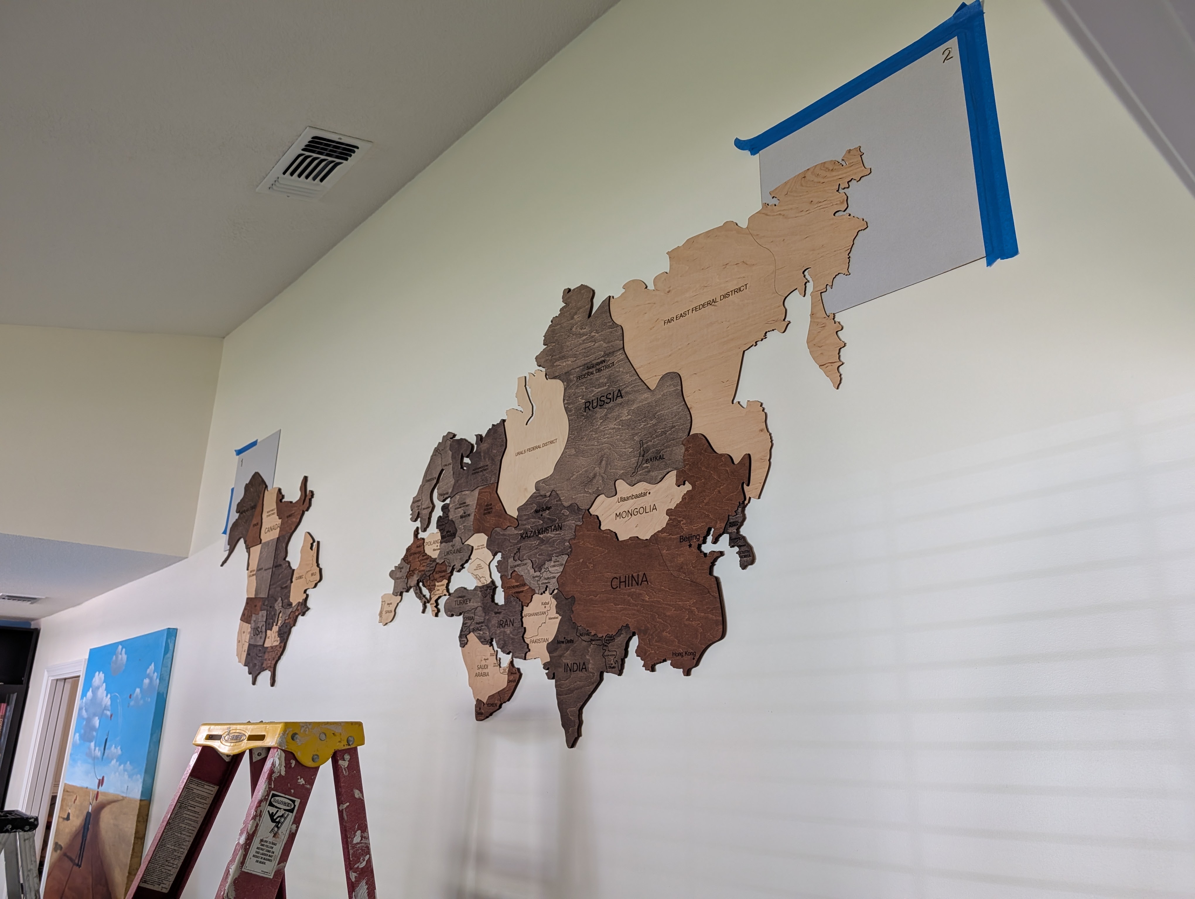
The instructions do give you the vertical and horizontal dimensions for your world although they did not factor in Antarctica. There are two upper corner cardboard cutouts for placing the first two pieces (parts of Alaska and Kamchatka). If you get those two placed correctly, you’ve got a good start.
The real fun starts after that (and some arguments as well). First you have to find the right pieces for the continents as you build across and down (South). And you have to figure out the distance across oceans and seas, otherwise you might wind up with Pangea. It helps to have an iPad or phone handy, to figure out where some of the more obscure islands should go, or the relationships between some of the pieces. Do you know where Brunei is? I did not. But I did know from my travels how to place Antarctica below the tip of Argentina. Woo hoo.
We did learn something useful early on – there is (or should be) an expiration date on double-sided tape. Over time, a roll of the stuff sort of melts into an unusable mass. A quick trip to Home Depot solved that problem.
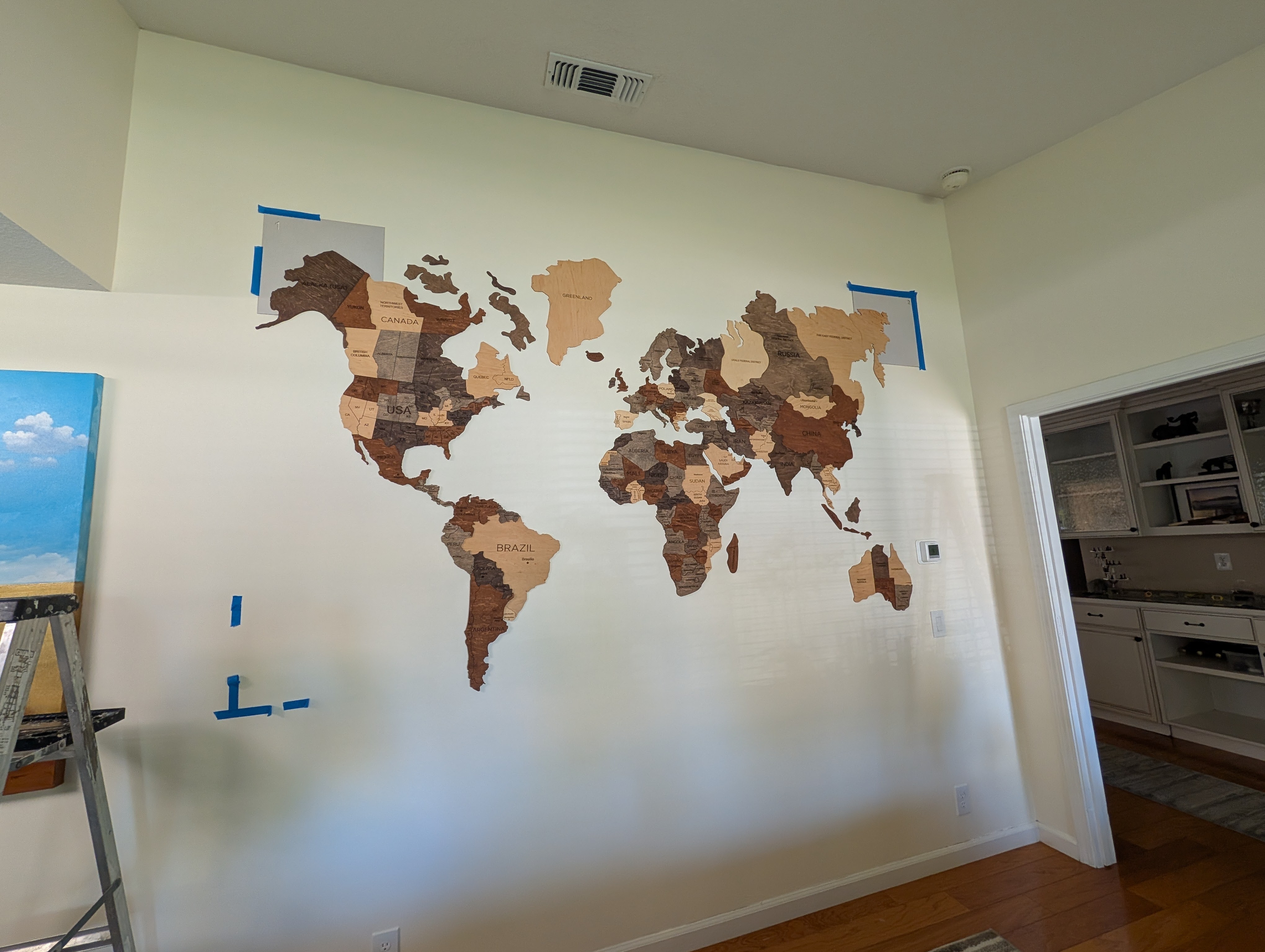
Once we had the new tape, building the world map went pretty quick with 2 people taping and one placing, and with a lot of discussion on how each piece should go. That’s where Google maps came in handy. It was fun watching the world appear on the wall – the scale makes you realize how far we are from many of the destinations I’ve been to in the past two years – it’s a long way from here to the bottom of the world.
My friends finished placing all the little islands and odds and ends after I departed, and the end result looks fantastic! I do not have any room left on my walls since they are now covered with acrylic prints from my travels, so I’ll have to continue relying on Google for my geographic inquiries.
Even Max had troubles putting this together. The dog wasn’t much help either.
Peace

Leave a comment