February 5th, 2026
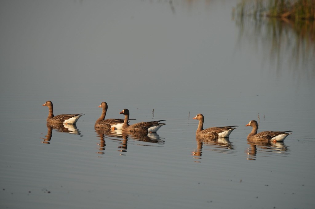
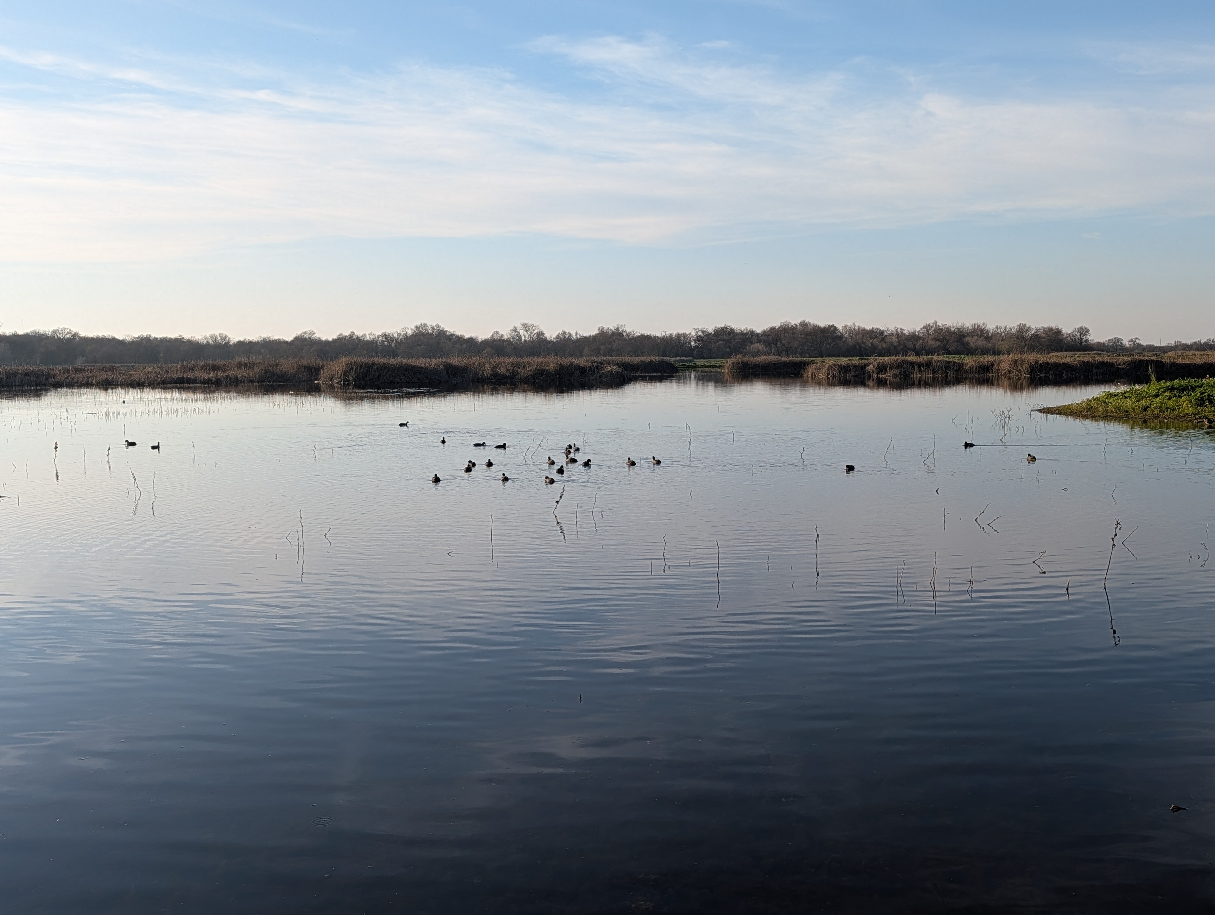
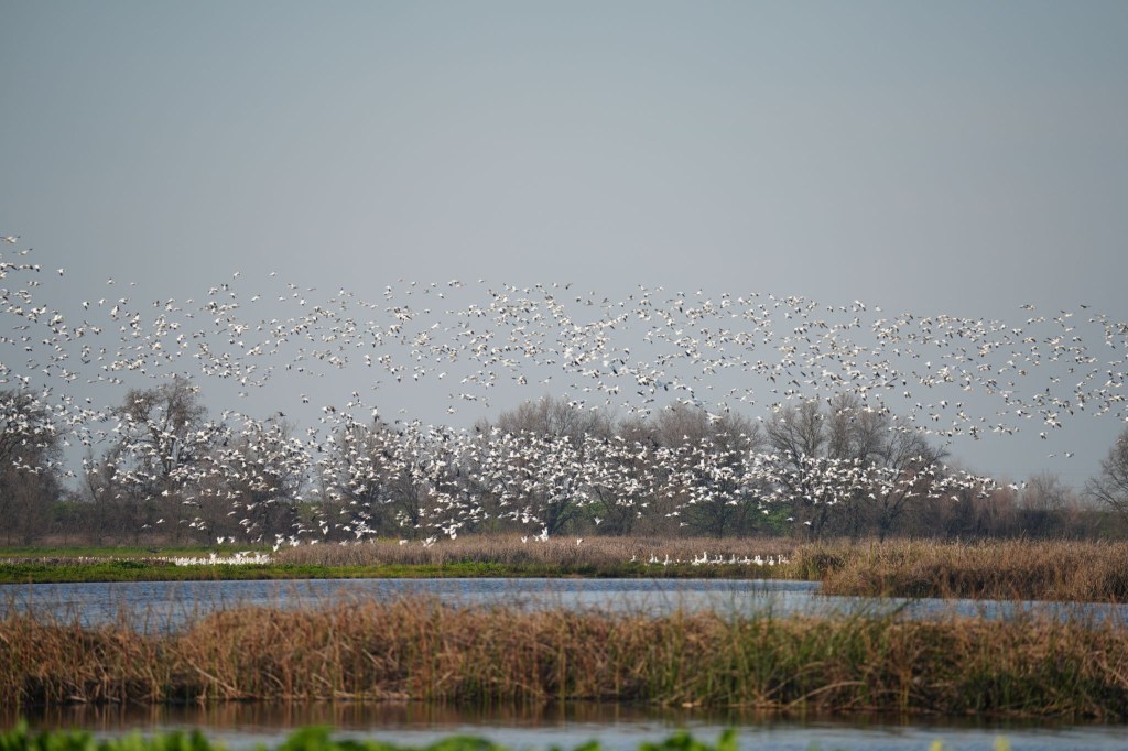
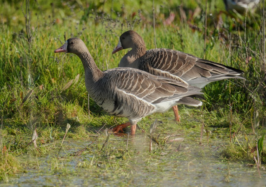
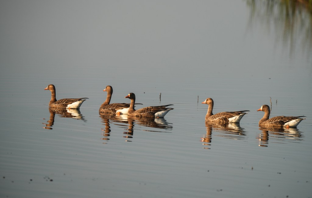
I was not really planning on doing any more posts until my trip to Baja, but this topic started bouncing around in my head for a while. Plus, I’m kind of stuck at home today, forcing myself to TAKE IT EASY (I hear my wife’s voice every now and then), after having an RFA procedure done on my knee yesterday (Radio Frequency Ablation) which should in theory eliminate the pain which has kept me off the tennis courts for over a year, and causes me to mutter a lot of nasty words while I’m hiking down hill. I won’t go into details on those words, but might as well discuss RFA just a wee bit. Basically, they stick electrodes into the knee joint, placed where the three nerves in the joint terminate, and then use heat to de-sensitize them. The procedure is mostly painless, other than the 3 or 4 shots of lidocaine they inject. I was able to drive myself home, and just had to put up with soreness and stiffness in the knee last night. I should be up and around by tomorrow. I might even head back to the Cosumnes Preserve again.
So this is how you know you have reached the point in life where you are considered elderly – you talk about your pains and medical procedures with friends and complete strangers. “Hi, my name is Rich. Want to hear about the procedure I just had on my knee?” I sit around at the tennis club with the other older players, and the conversations inevitably turn to everyone’s latest medical adventures. How did this happen? It’s called getting old.
But now, here’s where this gets back into the heading topic. Many years ago, I started getting numb areas in my feet and lower legs. I eventually mentioned it to my doctor, who sent me off to a neurologist. The first thing they do is an EMG test, which is a really fun procedure where a sadistic tech sticks needles into your legs and arms, and then hooks these up to an electrical source. Think of a combination of acupuncture with electro-shock therapy. “This might hurt a little” No kidding (expletive deleted). Then they use a small cattle prod to do the same thing, but at least warn you when they go from low to high. All of this to tell you what you already know – you have neuropathy, which has no cure. I’ve had this procedure three times now. I think that neurologists do this for fun.
At any rate, the numbness does get worse over time as the long nerves continue to degenerate. Losing feeling in your feet does have a major impact on stability…..not a good thing when you really enjoy hiking, which is one of the activities I enjoy in my travels. Bummer. The funny thing is that it does not affect me going uphill. I did the 2798 steps going up the Manitou Incline. No problems at all (other than the 2798 steps). Going down is a problem though, especially on rough trails. Antarctica had it’s moments as well – I did fine on most of the shallow, snow packed slopes, but bailed out of going on some of the steeper outings. You just have to be realistic on what you are capable of. I also bailed out on one long, steep hike in Zion to the start of Angels Landing trail (never doing that), but managed to do well on all the others. Besides, my focus on most of these trips is more on photography than completing a climb (except for the Incline – I absolutely had to get to the top!). And in Antarctica, I got to stand around with penguins down by the shore instead of hiking up an icy trail to see more of the same penguins.
So, what can you do about this miserable numbness creep, when the focus of your life is “expedition” style traveling around the world? So far, I’m handling it pretty well. First of all, you have to accept the fact that right now, there is no cure – most of the ads you see for miracle cures on the internet are pure BS. Really. There are some supplements which can slow things down – Alpha Lipoic Acid helps primarily for neuropathy associated with Diabetes, which I don’t have. But I take it anyway, since it is an anti-inflammatory. Turmeric is also and anti-inflammatory, so I take that as well. Increasing some vitamins (B-Complex) is a component of a lot of the so-called cures, but you need to check with a physician first. Too much is not a good thing. And cutting back on alcohol is helpful. Right. I’ve already described my answer to that….the one glass a week thing.

The second thing I do is work on my balance, something recommended for most people as they get into their 70’s and 80’s when falling is a major cause for loss of mobility. There are a lot of great exercises for maintaining core strength, as well as the ability to maintain balance. I have a few exercises which focus on standing on one leg for a minute or two. It looks weird when I do these at the club, but it really does help. And if I ever get stopped for an alcohol check, I’ll just show off to the officers and ask them if they can do the same. Just focusing on walking in a straight line when you go on walks helps (unlike a certain 79 year old president who meanders around like an inebriated duck).
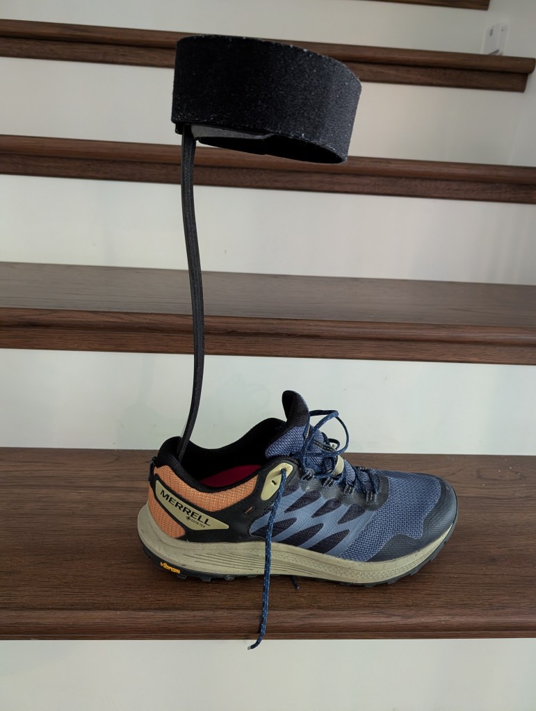
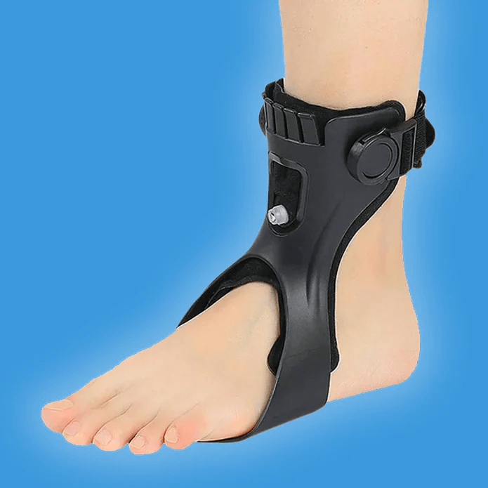
And lastly, there are some devices which help with another issue associated with neuropathy – drop foot. This is a problem where the muscle which keeps your foot pointed up as you walk, does not function well or at all. It causes you to drag your toe, or in my case, flop down. Jan had it for a while, caused by impingements in the spine. Hers had a cure. Mine is due to neuropathy, impacting the signals from the brain to that muscle. So, aside from more exercises, I have my handy-dandy Forest Gump brace, which I wear for long walks. It’s a light-weight, carbon-fiber thing that fits under the foot in a shoe, and keeps the foot from falling. It does work, and you get used to it after a few times wearing it. It looks weird though when I’m wearing shorts, but I can use it as an excuse for early boarding on flights. A silver lining to a crummy cloud. No touch of grey though (Grateful Dead reference in case you were wondering). I did order another brace I’ve seen on the internet, which does not have the attachment up on the calf. I tried one on and it seems to work – but it’s made in China, distributed by a bunch of shell companies in Hong Kong, and takes forever to receive the order since it’s shipped from China and has to go through customs. The one I received had some issues, so I returned it and ordered another from a different shell company. I hope this one works better.
There is one more critical piece of the stability puzzle for hiking – hiking sticks. I’ve been using them for decades, and now own 3 pair (one was Jan’s). I usually just use one stick on most hikes – that’s good enough to provide extra balance on most trails. I throw both in my luggage just in case there are rocky stretches of trails, or a lot of steep sections. Bryce Canyon was like that, as were some of the lava rock trails in the Galápagos Islands. Better to be safe than bloody with broken bones from a fall. And now they have collapsing hiking sticks, sort of like tent poles. These would be great for trips where there are limitations on luggage size and weigh, so I see these as a future purchase from REI, once I get my annual refund check. A big shopping day will be coming up in March!
So, this year and next will be a big test on how I cope with this annoying condition. I’m probably OK until summer, when I’ve got the first Iceland trip which is not a cruise. Lots of hiking, but I’m ramping up my distance with the brace on, and should be OK. No mountains to climb, other than a volcanic cone to get to the magma chamber, a highlite for me. The Kodiak trip has a lot of hiking as well, but all on flatland, wearing waders. My foot won’t be a problem there. Grizzly bears yes, hiking no. Same for Patagonia, and another cruise in the Sea of Cortez. Local hikes are always relatively short, and once again, I did not win the Wave lottery, which might have been a challenge. Maybe next year or fall of this year.
Now 2027 will be interesting, assuming the condition does not worsen. Madagascar and my second trip to Iceland both involve a lot of hiking – but I intend to keep increasing the distance I cover with the brace, so I should be OK for that. I’m holding off on scheduling into 2028 until early next year. This will be a year-by-year check from now on. I’m not getting any younger.
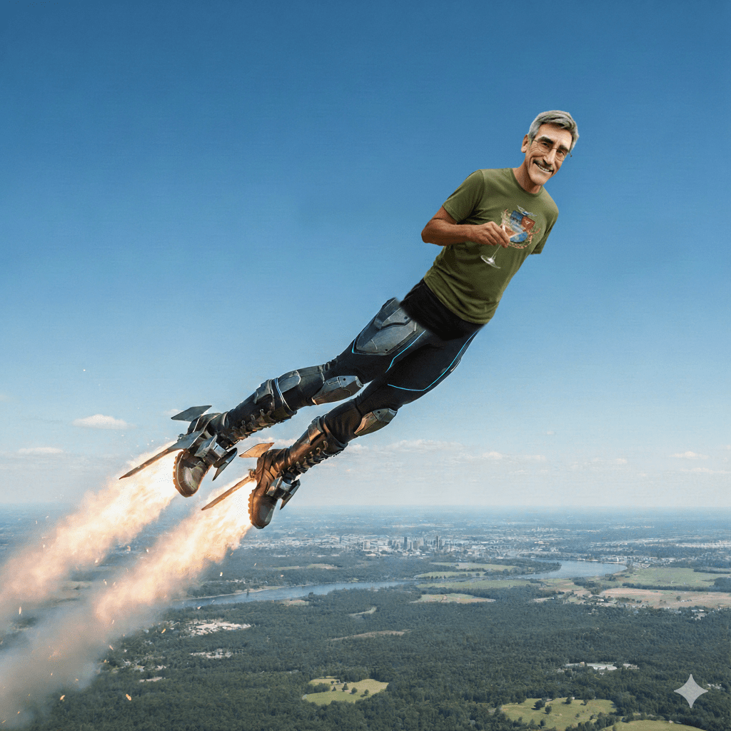
And maybe Google will finally come out with those rocket boots that Larry Page promised as a Christmas bonus one year. Now that would really help.
Peace